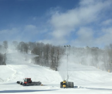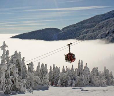
WHISTLER - Just in time for Whistler Pride starting this coming weekend, it's looking as though the resort could see 7 feet of fresh powder.
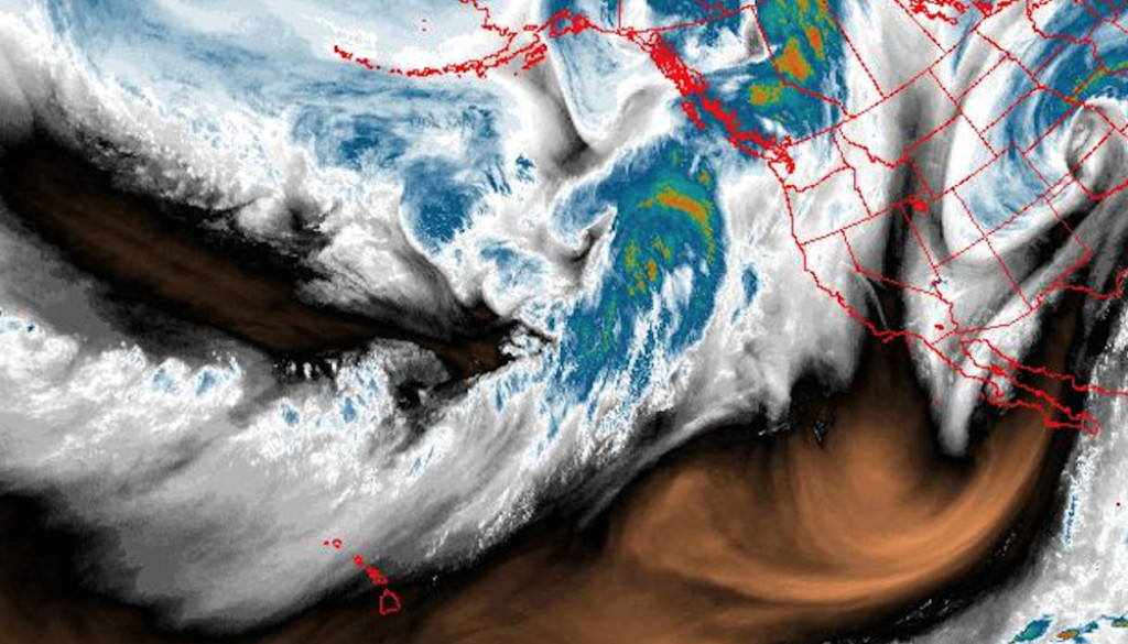
An atmospheric river event is on tap for the west this week with the bullseye over Whistler Blackcomb. Snow predictions by snow-forecst.com are in the order of 205 cm (81 inches).
“Snow should begin near noon today as a frontal wave moves onshore and over the region. Total accumulations for today and the overnight period are forecast to be in the 20 to 30cm range however locally higher amounts may be found, with lower amounts possible at lower elevations. Freezing levels are expected to rise tomorrow as more warm air pushes into the region with another frontal wave pushing onshore, bringing the potential for some very wet snow. Occasional rain could be mixed in if freezing levels push high enough.
The active pattern will continue into the end of the week, with higher freezing levels holding into Wednesday before falling for the end of the week. Accumulations from these systems and where exactly freezing levels will lie will continue to adjust over the next few days, but in general milder conditions with moderate and gusty winds are expected and should last for most of the week.” – Whistler Blackcomb
Image: Snowforecast.com
Story Lead: Unofficial Networks